

This is a package centered around Portuguese spatial data. The main features are:
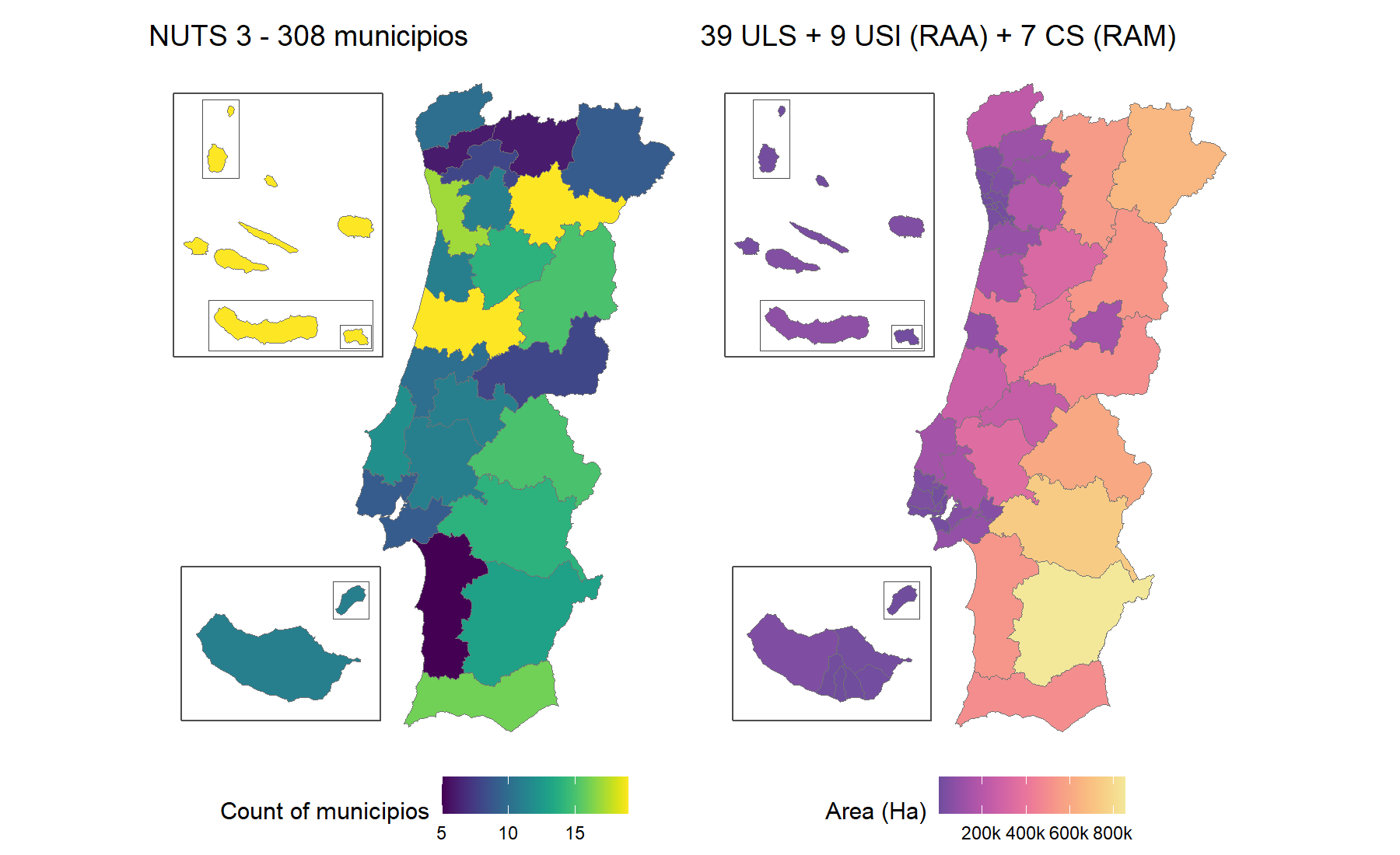
# From CRAN
install.packages("geopt")

# From GitHub
# install.packages("pak")
pak::pak("c-matos/geopt")library(geopt)
# Custom data
df <- data.frame(
concelho = c("PORTO", "Lisboa", "golega", "Faro", "Lagoa (RAA)", "Calheta (RAM)"),
score = c(10, 25, 15, 8, 18, 12)
)
# Plot a map
plot_pt(df, value = "score", by = c(municipio = "concelho"))
#> get_map: 302 boundaries have no data row (NA fill).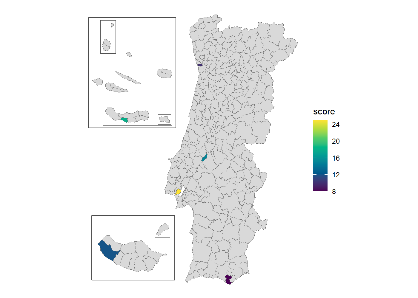
Add renderer = "echarts" for an interactive htmlwidget
instead.
plot_pt(df, value = "score", by = c(municipio = "concelho"), renderer = "echarts")Start with vignette("geopt"),
then pick the guide for the task at hand:
vignette("map-compositions")vignette("joining-data")vignette("health-geographies")vignette("vintages")vignette("downloading-data")Curious how it works? The website has articles on how the bundled data is built and how name matching works.
get_censos(), not bundled.?pt_nuts_codes and ?pt_health_codes.geopt is not affiliated with DGT or INE.
AI was used in the development of this package. Claude (Anthropic), specifically Claude Opus 4.8, Opus 5 and Opus 5.5, assisted with writing code, tests and documentation.
MIT © Carlos Matos